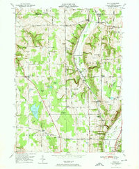
1949 Map of Dale
USGS Topo · Published 1974About this map
Tonawanda Creek and its tributary Little Tonawanda Creek carve deep ravines through this Wyoming County landscape, where the Erie Railroad winds alongside the water. The area is defined by a series of named "gulfs," including Smith Gulf, Ewell Gulf, and Dusing Gulf, which dictate the placement of early settlements and crossings like Belknap Crossing and Millers Crossing. The map highlights a rural social infrastructure of the mid-twentieth century, featuring small schools such as School No 4 and School No 11, and numerous family-named landmarks like Dutton Hill and Wheelers Hill.
Find a feature on this map
86 named features on this map. Tap any name to fly to it.
Don’t see what you’re looking for? This feature index may not catch every label — zoom into the map to look around manually.
Map Details
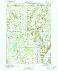
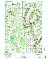
Editions of this 1949 Dale Map
3 editions found
Other maps of this area

1904 · Batavia
USGS Topo · 1:62,500

1905 · Attica
USGS Topo · 1:62,500

1905 · Portage
USGS Topo · 1:62,500

1923 · Arcade
USGS Topo · 1:62,500

1925 · Arcade
USGS Topo · 1:62,500

1943 · Warsaw
USGS Topo · 1:24,000

1943 · Castile
USGS Topo · 1:24,000

1944 · Alexander
USGS Topo · 1:31,680

1944 · Stafford
USGS Topo · 1:31,680

1944 · Warsaw
USGS Topo · 1:31,680