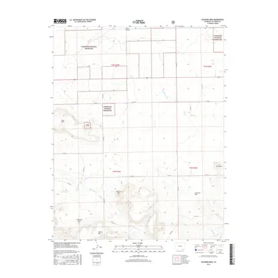
2016 Map of Dalerose Mesa
USGS Topo · Published 2016About this map
Comanche National Grassland dominates this high plains landscape in Las Animas County, where the topography is defined by the significant rise of Mesa de Maya along the southern border. The terrain is characterized by a series of flat-topped landforms and steep breaks, including Dalerose Mesa, Fallas Mesa, and the isolated peak of Frenchmans Butte. These features provide a clear picture of the drainage patterns in the West Carrizo Creek watershed, where seasonal watercourses like W Carrizo Cr and Saltillo Cr have carved through the arid environment. A sparse network of county roads, such as Co RD 30 and Co RD 185, provides the primary access through these public lands. The presence of named features like Huerfanita and Couchman Draw reflects a long history of local geographic identification in this corner of Colorado, where ranching and conservation remain the primary land uses.
Find a feature on this map
27 named features on this map. Tap any name to fly to it.
Don’t see what you’re looking for? This feature index may not catch every label — zoom into the map to look around manually.
Map Details
Editions of this 2016 Dalerose Mesa Map
This is the sole edition of this map. No revisions or reprints were ever made.
Other maps of this area

1891 · Mesa De Maya
USGS Topo · 1:125,000

1892 · Mt Carrizo
USGS Topo · 1:125,000

1893 · Mesa de Maya
USGS Topo · 1:125,000

1955 · La Junta
USGS Topo · 1:250,000

1958 · La Junta
USGS Topo · 1:250,000

1968 · La Junta
USGS Topo · 1:250,000
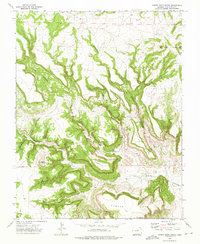
1972 · Cobert Mesa North
USGS Topo · 1:24,000

1972 · Tobe
USGS Topo · 1:24,000
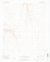
1972 · Villegreen
USGS Topo · 1:24,000
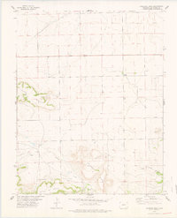
1978 · Dalerose Mesa
USGS Topo · 1:24,000