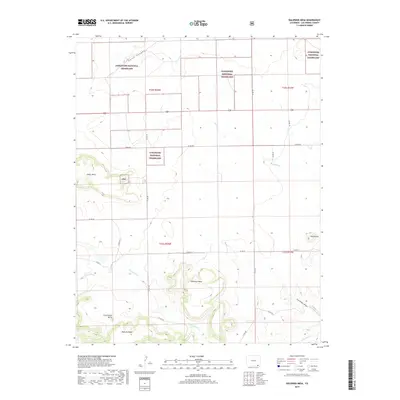
2019 Map of Dalerose Mesa
USGS Topo · Published 2019About this map
The Comanche National Grassland dominates this section of the High Plains, where high mesas and deep draws create a distinct topography within Las Animas County. The landscape is defined by massive formations like Mesa de Maya and the namesake Dalerose Mesa, which rise above the surrounding drainage basins. Waterways such as W Carrizo Cr and Saltillo Cr cut through the terrain, illustrating the natural erosion patterns of the region. A network of county roads, including Co RD 185 and Co RD 30, provide the only modern access across this sparsely settled territory. These routes largely follow the section lines of the Public Land Survey System, a sharp contrast to the irregular contours of landmarks like Frenchmans Butte and Fallas Mesa. This 2019 survey documents a landscape where traditional land use and large-scale public conservation areas meet.
Find a feature on this map
26 named features on this map. Tap any name to fly to it.
Don’t see what you’re looking for? This feature index may not catch every label — zoom into the map to look around manually.
Map Details
Editions of this 2019 Dalerose Mesa Map
This is the sole edition of this map. No revisions or reprints were ever made.
Other maps of this area

1891 · Mesa De Maya
USGS Topo · 1:125,000

1892 · Mt Carrizo
USGS Topo · 1:125,000

1893 · Mesa de Maya
USGS Topo · 1:125,000

1955 · La Junta
USGS Topo · 1:250,000

1958 · La Junta
USGS Topo · 1:250,000

1968 · La Junta
USGS Topo · 1:250,000
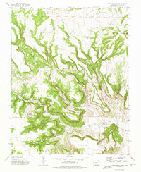
1972 · Cobert Mesa North
USGS Topo · 1:24,000

1972 · Tobe
USGS Topo · 1:24,000
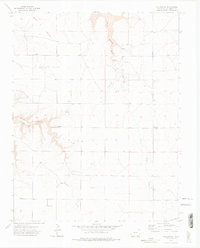
1972 · Villegreen
USGS Topo · 1:24,000
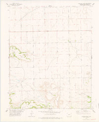
1978 · Dalerose Mesa
USGS Topo · 1:24,000