Loading...
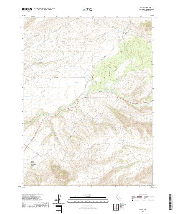
Loading map...1965 Map of Dales
USGS Topo · Published 1966About this map
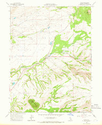
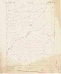
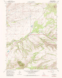
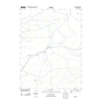
Dales and the nearby Trout Farm serve as the primary human settlements in this mid-1960s landscape, positioned where the Long Road meets the flowing waters of Paynes Creek. The geography is defined by volcanic features, most notably the prominent Tuscan Buttes in the south and Soap Butte to the northeast. Water management and resource extraction are evident through a significant pipeline network traversing the terrain, alongside a Quarry and scattered exploratory sites like a Drill Hole.
Find a feature on this map
23 named features on this map. Tap any name to fly to it.
Don’t see what you’re looking for? This feature index may not catch every label — zoom into the map to look around manually.
Map Details
Date Portrayed1965
Date Published1966
PublisherU.S. Geological Survey
Map TypeTopographic
Scale1:24,000
Physical Dimensions22 x 26.9 inches
Editions of this 1965 Dales Map
3 editions found
Historical Maps of Dales Through Time
5 maps found
Featured Locations
Source Details
SourceU.S. Geological Survey
CopyrightPublic Domain