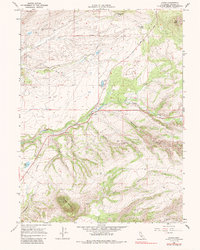
1965 Map of Dales
USGS Topo · Published 1988About this map
Dales stands at the intersection of water and land in this mid-century survey, where the Trout Farm and local ranching interests utilized the drainage of Paynes Creek and Inks Creek. The landscape is dominated by the volcanic forms of the Tuscan Buttes to the south and Soap Butte to the northeast, while the drainage network is meticulously detailed through various canyons such as Supan Gulch, Palmer Gulch, and De Haven Gulch.
Find a feature on this map
25 named features on this map. Tap any name to fly to it.
Don’t see what you’re looking for? This feature index may not catch every label — zoom into the map to look around manually.
Map Details
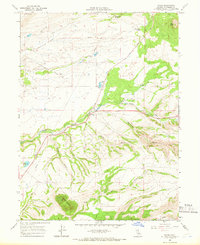
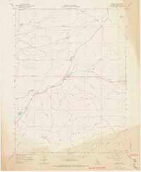
Editions of this 1965 Dales Map
3 editions found
Other maps of this area

1886 · Lassen Peak
USGS Topo · 1:250,000

1890 · Red Bluff
USGS Topo · 1:250,000

1892 · Lassen Peak
USGS Topo · 1:250,000

1894 · Lassen Peak
USGS Topo · 1:250,000

1894 · Red Bluff
USGS Topo · 1:250,000

1905 · Tehama
USGS Topo · 1:62,500

1935 · Paynes Creek
USGS Topo · 1:96,000

1941 · Mineral
USGS Topo · 1:125,000

1944 · Tuscan Buttes
USGS Topo · 1:62,500

1947 · Tuscan Buttes
USGS Topo · 1:62,500