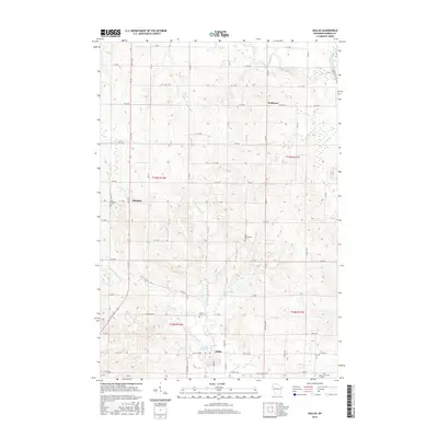
2015 Map of Dallas
USGS Topo · Published 2015About this map
The village of Dallas and the surrounding township in Barron County are defined by a complex network of waterways, centered on the Dallas Flowage along the Yellow River. In the mid-2010s, this area maintains a distinct rural character, with the smaller settlements of Hillsdale and Wickware serving as local anchors. The landscape is deeply etched by numerous tributaries including Fourmile Cr, Johnson Cr, and several branches of Upper Pine Cr, which eventually drain toward the Red Cedar River in the northeast corner of the quadrangle.
Find a feature on this map
71 named features on this map. Tap any name to fly to it.
Don’t see what you’re looking for? This feature index may not catch every label — zoom into the map to look around manually.
Map Details
Editions of this 2015 Dallas Map
This is the sole edition of this map. No revisions or reprints were ever made.
Other maps of this area

1949 · New Auburn
USGS Topo · 1:62,500

1949 · Ridgeland
USGS Topo · 1:62,500

1951 · Ridgeland
USGS Topo · 1:62,500

1951 · New Auburn
USGS Topo · 1:62,500

1951 · Chetek
USGS Topo · 1:62,500

1951 · Barron
USGS Topo · 1:62,500

1953 · Rice Lake
USGS Topo · 1:250,000

1959 · Rice Lake
USGS Topo · 1:250,000
1975 · Sand Creek
USGS Topo · 1:24,000
1975 · Ridgeland NE
USGS Topo · 1:24,000