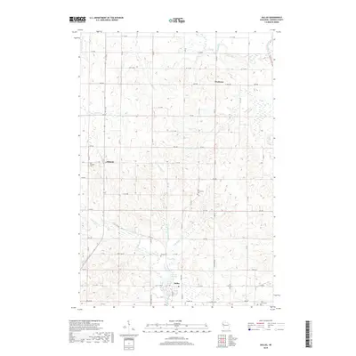
2018 Map of Dallas
USGS Topo · Published 2018About this map
The Dallas Flowage serves as a central hydrological feature for this portion of Barron County, collecting waters from the E Br Upper Pine Cr and N Br Upper Pine Cr before they join the southern drainage. The settlement of Dallas sits at this junction, while the community of Hillsdale anchors the western side of the map. The landscape is defined by a dense network of local roads organized on a grid, including 7 1/2 Ave and Co Hwy O, which connect scattered rural homesteads and agricultural tracts.
Find a feature on this map
66 named features on this map. Tap any name to fly to it.
Don’t see what you’re looking for? This feature index may not catch every label — zoom into the map to look around manually.
Map Details
Editions of this 2018 Dallas Map
This is the sole edition of this map. No revisions or reprints were ever made.
Other maps of this area

1949 · New Auburn
USGS Topo · 1:62,500

1949 · Ridgeland
USGS Topo · 1:62,500

1951 · Ridgeland
USGS Topo · 1:62,500

1951 · New Auburn
USGS Topo · 1:62,500

1951 · Chetek
USGS Topo · 1:62,500

1951 · Barron
USGS Topo · 1:62,500

1953 · Rice Lake
USGS Topo · 1:250,000

1959 · Rice Lake
USGS Topo · 1:250,000
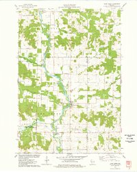
1975 · Sand Creek
USGS Topo · 1:24,000
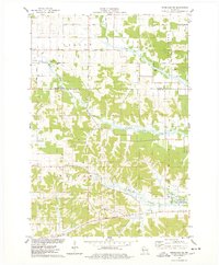
1975 · Ridgeland NE
USGS Topo · 1:24,000