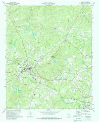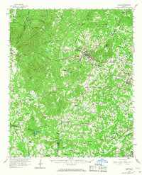
1958 Map of Dallas
USGS Topo · Published 1968About this map
Dallas serves as the central hub of this late 1950s Georgia landscape, where the Southern Railway and various regional roads converge in Paulding County. The map reveals a densely settled rural network defined by an exceptional number of country churches and community centers, such as New Hope Ch, Friendship Ch, and Star of Bethlehem Ch. To the north, the terrain rises toward Elsberry Mtn and Brushy Mountain, while the southern reaches transition into the rolling hills near Villa Rica and Douglasville. The drainage patterns of Pumpkinvine Creek and Sweetwater Creek dictate the local geography, carving through a landscape dotted with small family-named landmarks and essential local institutions like the Shady Grove Sch. This survey captures the county's character just before the significant suburban expansion of the later twentieth century.
Find a feature on this map
78 named features on this map. Tap any name to fly to it.
Don’t see what you’re looking for? This feature index may not catch every label — zoom into the map to look around manually.
Map Details
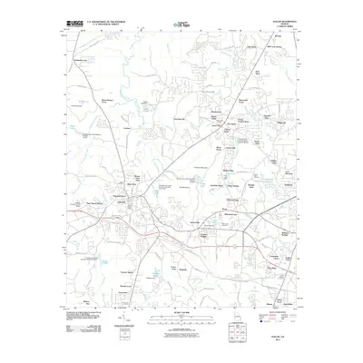
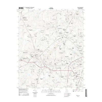
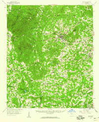
Editions of this 1958 Dallas Map
2 editions found
Historical Maps of Douglasville Through Time
7 maps found