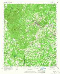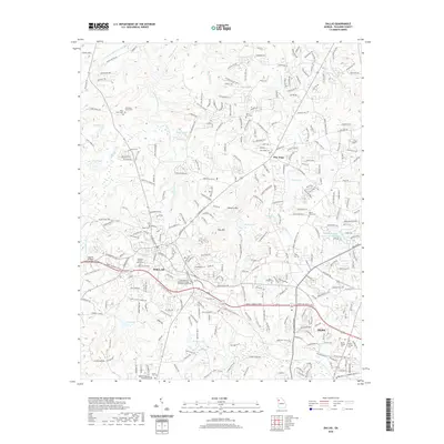
1973 Map of Dallas
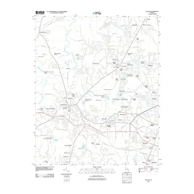
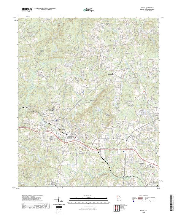
USGS Topo · Published 1988About this map
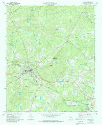
Dallas serves as the focal point of this Paulding County survey, where the Seaboard Coast Line and Southern Railway intersect at the heart of the settlement. The landscape is characterized by a series of prominent ridges and creek valleys, notably Elsberry Mountain with its Lookout Tower and Ray Mountain to the south. The infrastructure of the early 1970s is well-documented, showing a Filtration Plant and Sewage Disposal sites alongside emerging recreational and commercial features like a Drive-in Theater and a Drag Strip. Numerous rural congregations define the social geography, including Shady Grove Ch, Antioch Ch, and Macedonia Ch. The map captures a period of transition as traditional agricultural land begins to accommodate suburban growth, evidenced by the development of a Trailer Park and the network of roads branching out from New Hope and Hiram.
Find a feature on this map
50 named features on this map. Tap any name to fly to it.
Don’t see what you’re looking for? This feature index may not catch every label — zoom into the map to look around manually.
Map Details
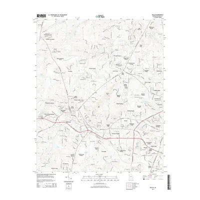
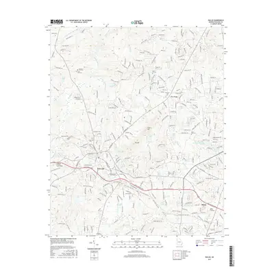
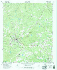
Editions of this 1973 Dallas Map
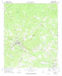
Historical Maps of Dallas Through Time
7 maps found