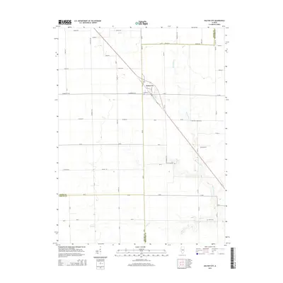
2015 Map of Dalton City
USGS Topo · Published 2015About this map
Dalton City serves as the primary hub of this agricultural landscape at the tri-county junction where Macon, Shelby, and Moultrie Counties meet. The settlement is positioned along the diagonal corridor of Old IL-121, which cuts across a grid of rural section roads like E Andrews St Rd and N 2000 Dora Township Rd. This transportation network facilitates the regional farming economy, connecting remote farmsteads to the central grain elevators and rail-aligned infrastructure of the village.
Find a feature on this map
29 named features on this map. Tap any name to fly to it.
Don’t see what you’re looking for? This feature index may not catch every label — zoom into the map to look around manually.
Map Details
Editions of this 2015 Dalton City Map
This is the sole edition of this map. No revisions or reprints were ever made.
Other maps of this area

1929 · Decatur
USGS Topo · 1:62,500

1933 · Decatur
USGS Topo · 1:62,500

1935 · Sullivan
USGS Topo · 1:48,000

1940 · Sullivan
USGS Topo · 1:62,500

1949 · Dalton City
USGS Topo · 1:62,500

1955 · Bement
USGS Topo · 1:62,500

1958 · Decatur
USGS Topo · 1:250,000

1961 · Decatur
USGS Topo · 1:250,000

1967 · Long Creek
USGS Topo · 1:24,000

1967 · Decatur
USGS Topo · 1:24,000