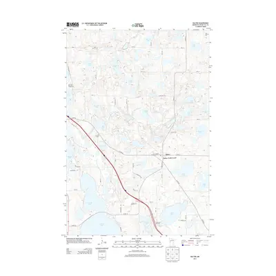
2013 Map of Dalton
USGS Topo · Published 2013About this map
The Pomme de Terre River winds through this glacial landscape, shaping a dense network of kettle lakes and wetlands near the village of Dalton. This 2013 survey illustrates the area's rural character, where large bodies of water like N Tenmile Lake and Swan Lake are interspersed with smaller named ponds such as Mud Lake and Bromseth Lake. The distribution of family-named roads, including Dieseth Rd and Veitenheimer Rd, reflects generations of local land use and agricultural development.
Find a feature on this map
65 named features on this map. Tap any name to fly to it.
Don’t see what you’re looking for? This feature index may not catch every label — zoom into the map to look around manually.
Map Details
Editions of this 2013 Dalton Map
This is the sole edition of this map. No revisions or reprints were ever made.
Other maps of this area

1910 · Wendell
USGS Topo · 1:62,500

1913 · Ashby
USGS Topo · 1:62,500

1913 · Fergus Falls
USGS Topo · 1:62,500

1913 · Wendell
USGS Topo · 1:62,500

1915 · Underwood
USGS Topo · 1:62,500

1953 · Fargo
USGS Topo · 1:250,000

1953 · Brainerd
USGS Topo · 1:250,000

1956 · Fargo
USGS Topo · 1:250,000

1957 · Brainerd
USGS Topo · 1:250,000

1958 · Brainerd
USGS Topo · 1:250,000
Featured Places
- Dalton, MN
- Dane Prairie Township, MN
- Saint Olaf Township, MN
- Dalton Trailer Court, Dalton
- Tordenskjold Township, MN