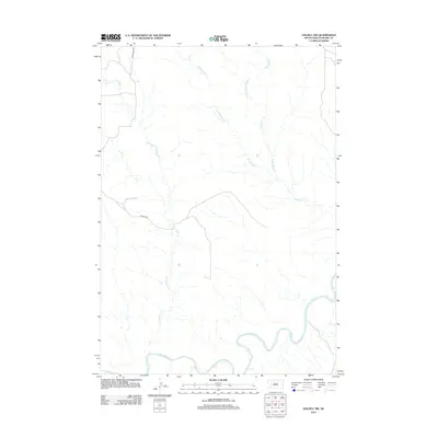
2012 Map of Dalzell NW
USGS Topo · Published 2012About this map
The Belle Fourche River winds through the southern portion of this Meade County landscape, defining the local drainage patterns and topography in the early 21st century. This arid stretch of South Dakota is characterized by a network of seasonal watercourses, including the various branches of the Badlands drainage system. Significant tributaries such as W Badlands Cr, Middle Badlands Cr, and E Badlands Cr converge toward the larger Badlands Cr in the east. Access to this remote rangeland is primarily facilitated by Bonieta Rd and Co Hwy MC-14D, which provide the few established routes through the area's intricate creek systems. The proximity of E Killdeer Cr further illustrates the complex hydrological layout of this region, which remains largely dominated by its natural water features rather than dense settlement.
Find a feature on this map
8 named features on this map. Tap any name to fly to it.
Don’t see what you’re looking for? This feature index may not catch every label — zoom into the map to look around manually.
Map Details
Editions of this 2012 Dalzell NW Map
This is the sole edition of this map. No revisions or reprints were ever made.
Other maps of this area

1953 · Rapid City
USGS Topo · 1:250,000

1954 · Dalzell SE
USGS Topo · 1:24,000

1954 · Dalzell NW
USGS Topo · 1:24,000

1954 · Dalzell
USGS Topo · 1:24,000

1954 · Dalzell NE
USGS Topo · 1:24,000

1954 · Elm Springs
USGS Topo · 1:24,000

1954 · Boneita Springs
USGS Topo · 1:24,000

1957 · Rapid City
USGS Topo · 1:250,000

1959 · Enning
USGS Topo · 1:24,000

1983 · Whiteman Owl
USGS Topo · 1:24,000