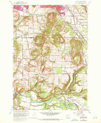
1961 Map of Damascus
USGS Topo · Published 1972About this map
The Clackamas River carves a deep valley through this landscape, marking a boundary between the emerging suburban developments of Gresham and the rural agricultural tracts of Damascus. In the early 1960s, this region was a mosaic of active industries and institutional growth, evidenced by the Hardscrabble Quarry and numerous gravel pits along the river banks near Barton. Transportation is defined by the Portland Traction Co rail line and the transition of older thoroughfares like Foster Road and Sunnyside Road into modern arterials.
Find a feature on this map
77 named features on this map. Tap any name to fly to it.
Don’t see what you’re looking for? This feature index may not catch every label — zoom into the map to look around manually.
Map Details
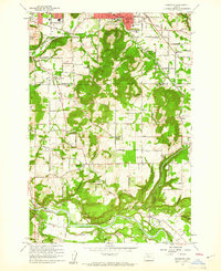
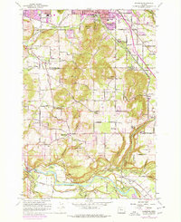
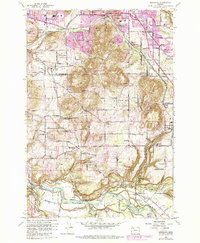
Editions of this 1961 Damascus Map
4 editions found
Other maps of this area

1897 · Portland
USGS Topo · 1:62,500

1905 · Portland
USGS Topo · 1:62,500

1911 · Boring
USGS Topo · 1:48,000

1914 · Boring
USGS Topo · 1:62,500

1914 · Oregon City
USGS Topo · 1:62,500

1916 · Estacada
USGS Topo · 1:125,000

1918 · Troutdale
USGS Topo · 1:62,500

1934 · Troutdale
USGS Topo · 1:48,000

1939 · Oregon City
USGS Topo · 1:62,500

1940 · Boring
USGS Topo · 1:62,500