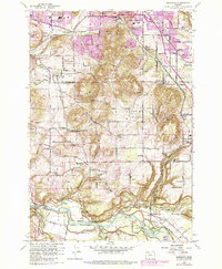
1961 Map of Damascus
USGS Topo · Published 1985About this map
Walters Hill and Grant Butte dominate this landscape southeast of Portland, where the suburban edge meets the agricultural valleys of Clackamas and Multnomah counties. The map captures a moment when traditional rural infrastructure, like the Damascus Union Sch and various cemeteries, persisted alongside industrial development such as the Brick Factory and Hardscrabble Quarry. Along the Clackamas River at the southern edge, the settlements of Carver and Barton mark historical crossing points, including Bakers Bridge and the nearby Baker Cabin. The Portland Traction railroad line winds through the northern sections, tracing a path through Linnemann and Hogan. This survey illustrates the transition from a collection of small crossroads like Wilson Corner and Wetzel Corner toward a more integrated regional network, while maintaining the distinct topography of Sunshine Valley.
Find a feature on this map
66 named features on this map. Tap any name to fly to it.
Don’t see what you’re looking for? This feature index may not catch every label — zoom into the map to look around manually.
Map Details
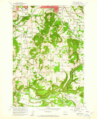
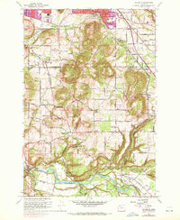
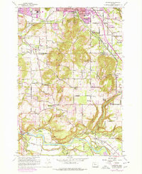
Editions of this 1961 Damascus Map
4 editions found
Other maps of this area

1897 · Portland
USGS Topo · 1:62,500

1905 · Portland
USGS Topo · 1:62,500

1911 · Boring
USGS Topo · 1:48,000

1914 · Boring
USGS Topo · 1:62,500

1914 · Oregon City
USGS Topo · 1:62,500

1916 · Estacada
USGS Topo · 1:125,000

1918 · Troutdale
USGS Topo · 1:62,500

1934 · Troutdale
USGS Topo · 1:48,000

1939 · Oregon City
USGS Topo · 1:62,500

1940 · Boring
USGS Topo · 1:62,500