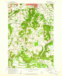
1961 Map of Damascus
USGS Topo · Published 1961About this map
The Clackamas River winds through the southern portion of this landscape, marking a transition between the developing suburban fringes of Gresham and the rural hills of northern Clackamas County. The Portland Traction Co rail line cuts across the northern terrain, serving a region defined by family-named landmarks like Walters Hill and Aemisegger Hill. Industry and community infrastructure are well-documented, from the Brick Factory and Hardscrabble Quarry to the numerous local educational centers such as Damascus Union Sch and Centennial High Sch.
Find a feature on this map
61 named features on this map. Tap any name to fly to it.
Don’t see what you’re looking for? This feature index may not catch every label — zoom into the map to look around manually.
Map Details
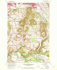
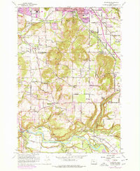
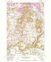
Editions of this 1961 Damascus Map
4 editions found
Other maps of this area

1897 · Portland
USGS Topo · 1:62,500

1905 · Portland
USGS Topo · 1:62,500

1911 · Boring
USGS Topo · 1:48,000

1914 · Boring
USGS Topo · 1:62,500

1914 · Oregon City
USGS Topo · 1:62,500

1916 · Estacada
USGS Topo · 1:125,000

1918 · Troutdale
USGS Topo · 1:62,500

1934 · Troutdale
USGS Topo · 1:48,000

1939 · Oregon City
USGS Topo · 1:62,500

1940 · Boring
USGS Topo · 1:62,500