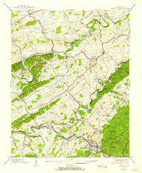
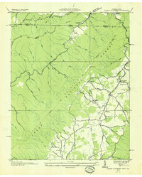
1938 Map of Damascus
USGS Topo · Published 1938About this map
Damascus serves as a central hub in this late-1930s survey, where the Norfolk and Western Railway meets the Laurel Creek and South Fork Holston River valleys. The map illustrates a landscape of established rural infrastructure, featuring several water-powered industrial sites like De Busk Mill, Mock Mill, and Vails Mill. To the north, the Middle Fork Holston River snakes through the terrain near the Jeb Stuart Highway, passing historic community centers such as Ebbing Spring Ch and the Liberty Hall Sch.
Find a feature on this map
69 named features on this map. Tap any name to fly to it.
Don’t see what you’re looking for? This feature index may not catch every label — zoom into the map to look around manually.
Map Details
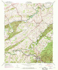
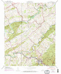
Editions of this 1938 Damascus Map
3 editions found
Other maps of this area

1891 · Abingdon
USGS Topo · 1:125,000

1894 · Abingdon
USGS Topo · 1:125,000

1909 · Abingdon
USGS Topo · 1:96,000

1911 · Abingdon
USGS Topo · 1:125,000

1935 · Konnarock
USGS Topo · 1:24,000

1935 · Chilhowie
USGS Topo · 1:24,000
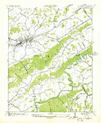
1935 · Abingdon
USGS Topo · 1:24,000

1935 · Grayson
USGS Topo · 1:24,000

1935 · Mount Rogers
USGS Topo · 1:48,000
1935 · Laurel Bloomery
USGS Topo · 1:24,000