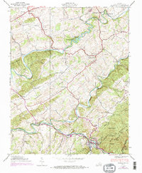
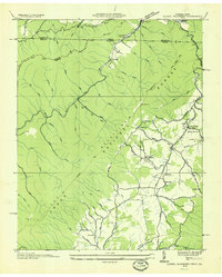
1938 Map of Damascus
USGS Topo · Published 1970About this map
Middle Fork Holston River and South Fork Holston River define the winding landscape of this Southwest Virginia valley during the late 1930s. The bustling town of Damascus serves as a nexus for the Norfolk and Western Railway and the Appalachian Trail, which climbs into the Iron Mountains and the Jefferson National Forest. The map documents a rural economy powered by water and rail, featuring multiple historical mills such as Mock Mill, De Busk Mill, and Vails Mill. Early river crossings like Wright Bridge, Craig Bridge, and the descriptive Drowning Ford highlight the local transportation network prior to modern highway dominance. Regional social life is anchored by family and community landmarks, including Liberty Hall School, Ebbing Spring Church, and Oak Hill Cemetery, which reflect the deep-rooted genealogy of Rhea Valley.
Find a feature on this map
71 named features on this map. Tap any name to fly to it.
Don’t see what you’re looking for? This feature index may not catch every label — zoom into the map to look around manually.
Map Details
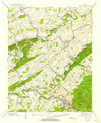
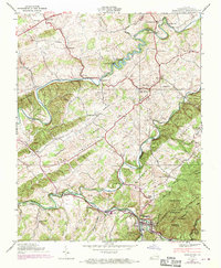
Editions of this 1938 Damascus Map
3 editions found
Other maps of this area

1891 · Abingdon
USGS Topo · 1:125,000

1894 · Abingdon
USGS Topo · 1:125,000

1909 · Abingdon
USGS Topo · 1:96,000

1911 · Abingdon
USGS Topo · 1:125,000

1935 · Konnarock
USGS Topo · 1:24,000

1935 · Chilhowie
USGS Topo · 1:24,000
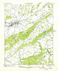
1935 · Abingdon
USGS Topo · 1:24,000

1935 · Grayson
USGS Topo · 1:24,000

1935 · Mount Rogers
USGS Topo · 1:48,000
1935 · Laurel Bloomery
USGS Topo · 1:24,000