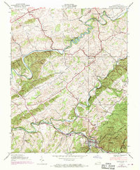
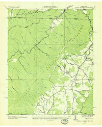
1938 Map of Damascus
USGS Topo · Published 1970About this map
Damascus sits at the confluence of mountain waters and valley ridges, serving as a hub for both the Norfolk and Western railroad and travelers along the Appalachian Trail. This landscape is defined by the winding paths of the Middle Fork Holston River and South Fork Holston River, which powered local industry at sites like De Busk Mill, Mock Mill, and Vails Mill. The 1938 survey, updated with 1969 aerial data, reveals a deeply settled rural interior with numerous community landmarks including Liberty Hall Sch, Ebbing Spring Ch, and Mt Olivet Ch. To the southeast, the terrain rises sharply into the Iron Mountains within the Jefferson National Forest, where peaks like The Cuckoo overlook the drainage of Laurel Creek. This document provides a look at a region where the industrial legacy of river-side milling and rail transport meets the protected wilderness of the Virginia highlands.
Find a feature on this map
65 named features on this map. Tap any name to fly to it.
Don’t see what you’re looking for? This feature index may not catch every label — zoom into the map to look around manually.
Map Details
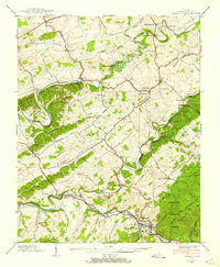
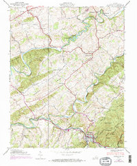
Editions of this 1938 Damascus Map
3 editions found
Other maps of this area

1891 · Abingdon
USGS Topo · 1:125,000

1894 · Abingdon
USGS Topo · 1:125,000

1909 · Abingdon
USGS Topo · 1:96,000

1911 · Abingdon
USGS Topo · 1:125,000

1935 · Konnarock
USGS Topo · 1:24,000

1935 · Chilhowie
USGS Topo · 1:24,000
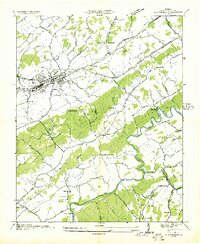
1935 · Abingdon
USGS Topo · 1:24,000

1935 · Grayson
USGS Topo · 1:24,000

1935 · Mount Rogers
USGS Topo · 1:48,000
1935 · Laurel Bloomery
USGS Topo · 1:24,000