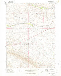
1971 Map of Dana
USGS Topo · Published 1975About this map
Dana and its industrial surroundings define this high-altitude Carbon County landscape during the early 1970s. The map illustrates the specialized infrastructure of the Wyoming coal and energy sector, prominently featuring the Union Pacific Railroad (Dana Spur) and the Energy Development Co Spur. These lines connect vital resource extraction points, including a tipple and conveyor system at the northern edge of the survey. The terrain is dominated by the massive parallel formations of Edson Ridge and Dana Ridge, which guide the path of the Union Pacific mainline.
Find a feature on this map
25 named features on this map. Tap any name to fly to it.
Don’t see what you’re looking for? This feature index may not catch every label — zoom into the map to look around manually.
Map Details
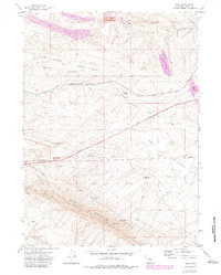
Editions of this 1971 Dana Map
2 editions found
Other maps of this area

1893 · Fort Steele
USGS Topo · 1:125,000

1914 · Hanna
USGS Topo · 1:62,500

1914 · Walcott
USGS Topo · 1:62,500

1954 · Rawlins
USGS Topo · 1:250,000

1955 · Coal Bank Basin
USGS Topo · 1:24,000

1955 · Meads
USGS Topo · 1:24,000

1955 · Rattlesnake Pass
USGS Topo · 1:24,000

1958 · Rawlins
USGS Topo · 1:250,000

1962 · Rawlins
USGS Topo · 1:250,000

1967 · Rawlins
USGS Topo · 1:250,000