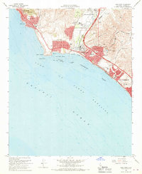
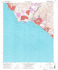
1968 Map of Dana Point
USGS Topo · Published 1970About this map
Dana Point Harbor and the developing coastline of southern Orange County define this late-1960s perspective. The landscape reflects a period of significant suburban and infrastructure expansion, notably the presence of the Capistrano Airport and the corridor established by the San Diego Freeway and the Atchison Topeka and Santa Fe railroad. Moving south from South Laguna and Three Arch Bay, the map traces the intersection of modern recreation and historic settlements at San Juan Capistrano. Interior canyons like Deep Canyon and coastal bluffs such as Coyote Bluff remain largely undeveloped, while established leisure sites like the San Juan Hills Country Club and Doheny State Beach indicate the area's transition into a premier coastal destination. The survey also preserves the layout of Capistrano Beach and the northern reaches of San Clemente before later decades of densification.
Find a feature on this map
45 named features on this map. Tap any name to fly to it.
Don’t see what you’re looking for? This feature index may not catch every label — zoom into the map to look around manually.
Map Details
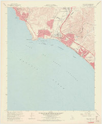
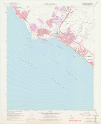
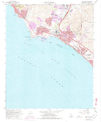
Editions of this 1968 Dana Point Map
5 editions found
Other maps of this area

1896 · Santa Ana
USGS Topo · 1:62,500

1901 · Southern California Sheet No. 1
USGS Topo · 1:250,000

1901 · Santa Ana
USGS Topo · 1:62,500

1902 · Capistrano
USGS Topo · 1:125,000

1902 · Corona
USGS Topo · 1:125,000

1904 · Southern California Sheet No. 2
USGS Topo · 1:250,000

1904 · Southern California Sheet No. 1
USGS Topo · 1:250,000

1906 · Capistrano
USGS Topo · 1:125,000

1942 · San Juan Capistrano
USGS Topo · 1:62,500
1942 · Santa Ana
USGS Topo · 1:62,500