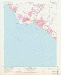
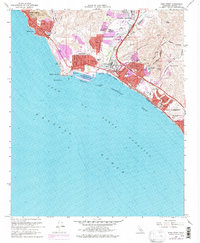
1968 Map of Dana Point
USGS Topo · Published 1978About this map
San Juan Capistrano serves as a historic anchor on this coastal survey, where the Santa Ana Mountains meet the Gulf of Santa Catalina. The map captures the Orange County coastline during a period of significant transition, documenting the early construction and configuration of Dana Point Harbor and the Dana Cove breakwater. Infrastructure developments like the San Diego Freeway and the Pacific Coast Hwy parallel the established rail lines of the Atchison Topeka and Santa Fe, signaling the era's rapid suburban expansion. Inland, the map details the landscape before extensive modern development, noting the Capistrano Airport and local landmarks like Serra Sch. Along the shore, distinct residential enclaves from South Laguna to San Clemente are clearly defined, showing the evolving character of seaside communities like Capistrano Beach and Three Arch Bay.
Find a feature on this map
40 named features on this map. Tap any name to fly to it.
Don’t see what you’re looking for? This feature index may not catch every label — zoom into the map to look around manually.
Map Details
Editions of this 1968 Dana Point Map
5 editions found
Other maps of this area

1896 · Santa Ana
USGS Topo · 1:62,500

1901 · Southern California Sheet No. 1
USGS Topo · 1:250,000

1901 · Santa Ana
USGS Topo · 1:62,500

1902 · Capistrano
USGS Topo · 1:125,000

1902 · Corona
USGS Topo · 1:125,000

1904 · Southern California Sheet No. 2
USGS Topo · 1:250,000

1904 · Southern California Sheet No. 1
USGS Topo · 1:250,000

1906 · Capistrano
USGS Topo · 1:125,000

1942 · San Juan Capistrano
USGS Topo · 1:62,500
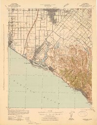
1942 · Santa Ana
USGS Topo · 1:62,500