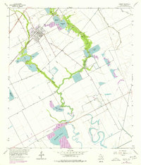
1963 Map of Danbury
USGS Topo · Published 1977About this map
Danbury is the primary settlement on this Brazoria County coastal plain, appearing as a organized grid just south of the Danbury Dome Oil Field. The landscape is defined by an intricate network of water management and resource extraction, with numerous pumping stations and gas wells scattered across the terrain. Extensive reservoirs like the McCormack Reservoir and Lazy C-Z Reservoir alongside the South Texas Water Company Canal indicate the heavy reliance on irrigation and industrial water supply in this region. The Missouri Pacific railroad cuts a straight line through the area, facilitating the movement of goods from the surrounding fields. Natural waterways such as Austin Bayou and Flores Bayou meander through the prairie, often widening into clusters of water bodies like Peltier Lakes and Bieri Lakes, creating a distinct patchwork of natural drainage and man-made impoundments.
Find a feature on this map
19 named features on this map. Tap any name to fly to it.
Don’t see what you’re looking for? This feature index may not catch every label — zoom into the map to look around manually.
Map Details
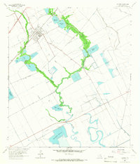
Editions of this 1963 Danbury Map
2 editions found
Other maps of this area

1932 · Mustang Bayou
USGS Topo · 1:31,680

1943 · Oyster Creek
USGS Topo · 1:31,680

1943 · Rosharon
USGS Topo · 1:31,680

1943 · Danbury
USGS Topo · 1:31,680

1943 · Mustang Bayou
USGS Topo · 1:31,680

1943 · Angleton
USGS Topo · 1:24,000

1943 · Christmas Point
USGS Topo · 1:24,000

1943 · Chocolate Bay
USGS Topo · 1:24,000

1943 · Chocolate Bayou
USGS Topo · 1:24,000

1943 · Snipe
USGS Topo · 1:31,680