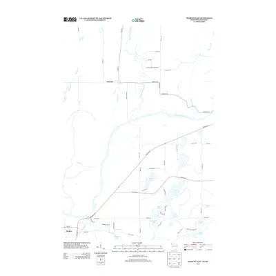
2013 Map of Danbury East
USGS Topo · Published 2013About this map
The Saint Croix River serves as the prominent natural boundary in this landscape, weaving through a network of wetlands and tributaries. The settlement of Markville stands to the north, situated near the confluence of the Upper Tamarack River and Trout Brook. To the southwest, the village of Danbury is positioned where the Yellow River and Loon Creek meet, marking a hub of road activity at the junction of State Road 35 and State Road 77.
Find a feature on this map
56 named features on this map. Tap any name to fly to it.
Don’t see what you’re looking for? This feature index may not catch every label — zoom into the map to look around manually.
Map Details
Editions of this 2013 Danbury East Map
This is the sole edition of this map. No revisions or reprints were ever made.
Other maps of this area

1949 · Danbury
USGS Topo · 1:48,000

1949 · Hertel
USGS Topo · 1:48,000

1949 · Webb Lake
USGS Topo · 1:48,000

1950 · Webster
USGS Topo · 1:48,000

1953 · Duluth
USGS Topo · 1:250,000

1953 · Stillwater
USGS Topo · 1:250,000

1955 · Hertel
USGS Topo · 1:62,500

1955 · Webb Lake
USGS Topo · 1:62,500

1955 · Webster
USGS Topo · 1:62,500

1955 · Stillwater
USGS Topo · 1:250,000