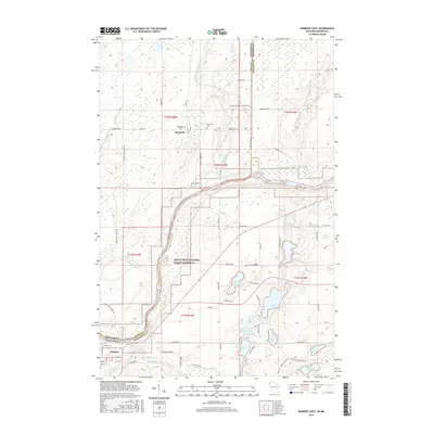
2015 Map of Danbury East
USGS Topo · Published 2015About this map
Markville serves as a northern focal point in this portion of Pine County, situated near the Markville Cem and the winding course of the Upper Tamarack River. To the south, the landscape is defined by the Saint Croix National Scenic Riverway, which protects the shoreline of the Saint Croix River as it forms the border between Minnesota and Wisconsin. The river system is dense here, with the Yellow River and Loon Cr converging near the settlement of Danbury. The terrain is characterized by numerous glacial lakes, including Bass Lake, Tabor Lake, and Minerva Lake, often connected by local routes like Minerva Dam Rd and Pansy Landing Rd. This 2015 update provides a modern look at the rural road network and protected lands that define this borderland region.
Find a feature on this map
68 named features on this map. Tap any name to fly to it.
Don’t see what you’re looking for? This feature index may not catch every label — zoom into the map to look around manually.
Map Details
Editions of this 2015 Danbury East Map
This is the sole edition of this map. No revisions or reprints were ever made.
Other maps of this area

1949 · Danbury
USGS Topo · 1:48,000

1949 · Hertel
USGS Topo · 1:48,000

1949 · Webb Lake
USGS Topo · 1:48,000

1950 · Webster
USGS Topo · 1:48,000

1953 · Duluth
USGS Topo · 1:250,000

1953 · Stillwater
USGS Topo · 1:250,000

1955 · Hertel
USGS Topo · 1:62,500

1955 · Webb Lake
USGS Topo · 1:62,500

1955 · Webster
USGS Topo · 1:62,500

1955 · Stillwater
USGS Topo · 1:250,000