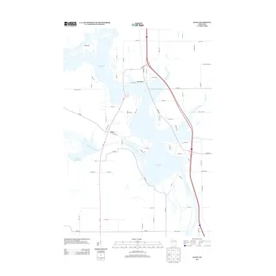
2013 Map of Dancy
USGS Topo · Published 2013About this map
Knowlton and Dancy are the primary settlements in this central Wisconsin landscape, which is largely defined by the expansive waters of Lake Dubay. Formed by the impoundment of the Wisconsin River, the lake's intricate shoreline and numerous inlets create a complex geography of islands and peninsulas, including the prominent Big Island. The western portion of the sheet is dominated by the Little Eau Pleine River and the Little Eau Pleine Flowage, illustrating the area's extensive hydrological network and its role in regional water management. Local infrastructure is evidenced by the convergence of various county highways and rural routes like Co Hwy-DB and Co Hwy-C. Recreation and transit are integrated into the terrain through features like the Chippewa Trl, which meanders near the lake's edge, and the rural roads that serve the scattered homesteads and seasonal properties along Peplin Creek.
Find a feature on this map
63 named features on this map. Tap any name to fly to it.
Don’t see what you’re looking for? This feature index may not catch every label — zoom into the map to look around manually.
Map Details
Editions of this 2013 Dancy Map
This is the sole edition of this map. No revisions or reprints were ever made.
Other maps of this area

1899 · Wausau
USGS Topo · 1:125,000

1902 · Wausau
USGS Topo · 1:125,000

1902 · Marathon
USGS Topo · 1:125,000

1953 · Wausau
USGS Topo · 1:48,000

1953 · Marathon
USGS Topo · 1:48,000

1955 · Green Bay
USGS Topo · 1:250,000

1956 · Milladore
USGS Topo · 1:48,000

1956 · Stevens Point
USGS Topo · 1:48,000

1963 · Marathon
USGS Topo · 1:62,500

1963 · Wausau
USGS Topo · 1:62,500