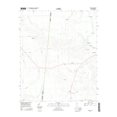
2014 Map of Dancy
USGS Topo · Published 2014About this map
The Mississippi-Alabama state line bisects this landscape, dividing Noxubee Co and Pickens Co along a north-south axis defined by the winding course of the Tombigbee River. The river's historical importance to navigation is evidenced by the modern Tennessee-Tombigbee Waterway and numerous named bars and shoals, including Clantons Bar and Colemans Shoals. Small rural communities and crossroads like Dancy and Dinsmore anchor the upland areas, connected by a network of local roads such as Jack Spann Rd and Nanny Clark Rd. Several historic burial grounds, including Hebron Church Cem and Cedar Grove Cem, provide vital landmarks for genealogical research. The drainage patterns are dominated by Bogue Chitto and its tributaries like Lower Cedar Cr, which feed into the main river system alongside distinct water bodies like Baldwins Lake and Johnstons Lake.
Find a feature on this map
45 named features on this map. Tap any name to fly to it.
Don’t see what you’re looking for? This feature index may not catch every label — zoom into the map to look around manually.
Map Details
Editions of this 2014 Dancy Map
This is the sole edition of this map. No revisions or reprints were ever made.
Other maps of this area

1953 · Meridian
USGS Topo · 1:250,000

1953 · West Point
USGS Topo · 1:250,000

1957 · Meridian
USGS Topo · 1:250,000

1958 · West Point
USGS Topo · 1:250,000

1963 · West Point
USGS Topo · 1:250,000

1965 · Meridian
USGS Topo · 1:250,000

1970 · Aliceville North
USGS Topo · 1:24,000

1970 · Aliceville South
USGS Topo · 1:24,000

1970 · Warsaw
USGS Topo · 1:24,000

1973 · Panola
USGS Topo · 1:24,000