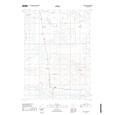
2017 Map of Daniel Junction
USGS Topo · Published 2017About this map
The Green River meanders through the southern reaches of this Sublette County landscape, where the confluence of regional travel at Daniel Junction anchors the rural road network. The area is characterized by an extensive system of surface water management, including the Forty Rod Reservoir, Sunset Reservoir, and Lauzer Fish Pond Reservoir, which support the high-altitude ranching and agricultural operations of Forty Rod Flat.
Find a feature on this map
37 named features on this map. Tap any name to fly to it.
Don’t see what you’re looking for? This feature index may not catch every label — zoom into the map to look around manually.
Map Details
Editions of this 2017 Daniel Junction Map
This is the sole edition of this map. No revisions or reprints were ever made.
Other maps of this area

1907 · Gros Ventre
USGS Topo · 1:125,000

1909 · Fremont Peak
USGS Topo · 1:125,000

1910 · Gros Ventre
USGS Topo · 1:125,000

1939 · Big Piney
USGS Topo · 1:125,000

1942 · Big Piney
USGS Topo · 1:125,000

1955 · Driggs
USGS Topo · 1:250,000

1955 · Preston
USGS Topo · 1:250,000

1955 · Thermopolis
USGS Topo · 1:250,000

1955 · Lander
USGS Topo · 1:250,000

1958 · Driggs
USGS Topo · 1:250,000