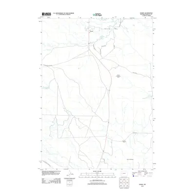
2012 Map of Daniel
USGS Topo · Published 2012About this map
Daniel serves as the central hub in this high-plains landscape where the Green River and its numerous tributaries converge. The settlement sits near the confluence of Prairie Cr and Horse Cr, surrounded by a network of ranch roads like 7 Mile River Ranch Rd and Price Todd Rd. The topography is defined by the prominent Daniel Grindstone Butte and the broad Soap Hole Basin to the southeast. Local heritage is grounded in sites such as the Mount Olivet Cem and the Soaphole Bridge, which provide specific points of interest for genealogists and local historians. The map documents a sophisticated water management system through features like Ryegrass Reservoir and Raven Reservoir, illustrating the vital role of irrigation and water storage in this Wyoming ranching corridor.
Find a feature on this map
22 named features on this map. Tap any name to fly to it.
Don’t see what you’re looking for? This feature index may not catch every label — zoom into the map to look around manually.
Map Details
Editions of this 2012 Daniel Map
This is the sole edition of this map. No revisions or reprints were ever made.
Other maps of this area

1939 · Big Piney
USGS Topo · 1:125,000

1942 · Big Piney
USGS Topo · 1:125,000

1955 · Preston
USGS Topo · 1:250,000

1955 · Lander
USGS Topo · 1:250,000

1958 · Lander
USGS Topo · 1:250,000

1958 · Preston
USGS Topo · 1:250,000

1961 · Lander
USGS Topo · 1:250,000

1962 · Preston
USGS Topo · 1:250,000

1964 · Mount Airy
USGS Topo · 1:24,000

1964 · Mesa Spring
USGS Topo · 1:24,000