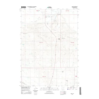
2015 Map of Daniel
USGS Topo · Published 2015About this map
The settlement of Daniel sits at a historic junction of high-country waters and ranch roads in Sublette County. The landscape is defined by the convergence of the Green River, Prairie Cr, and Horse Cr, a network that has long supported local agricultural operations. Evidence of water management for this arid environment is seen in the Fear Ditch Reservoir, Ryegrass Reservoir, and Raven Reservoir, which serve the surrounding grazing lands. To the north, the Mount Olivet Cem serves as a genealogical touchstone for the community near the banks of the Green River. The terrain rises to the distinct Daniel Grindstone Butte, overlooking the Grindstone Draw. In the southern portion of the map, the topography shifts into the Soap Hole Basin, where the Soaphole Bridge provides a crossing over Cottonwood Cr.
Find a feature on this map
30 named features on this map. Tap any name to fly to it.
Don’t see what you’re looking for? This feature index may not catch every label — zoom into the map to look around manually.
Map Details
Editions of this 2015 Daniel Map
This is the sole edition of this map. No revisions or reprints were ever made.
Other maps of this area

1939 · Big Piney
USGS Topo · 1:125,000

1942 · Big Piney
USGS Topo · 1:125,000

1955 · Preston
USGS Topo · 1:250,000

1955 · Lander
USGS Topo · 1:250,000

1958 · Lander
USGS Topo · 1:250,000

1958 · Preston
USGS Topo · 1:250,000

1961 · Lander
USGS Topo · 1:250,000

1962 · Preston
USGS Topo · 1:250,000

1964 · Mount Airy
USGS Topo · 1:24,000

1964 · Mesa Spring
USGS Topo · 1:24,000