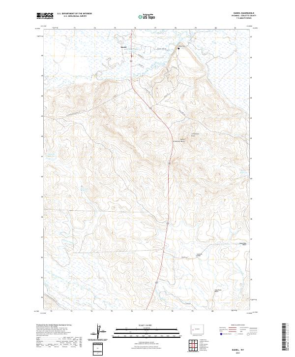
2021 Map of Daniel
USGS Topo · Published 2021About this map
The settlement of Daniel sits at a critical high-plains junction where the waters of Prairie Cr and Horse Creek converge. This 2021 topographic map illustrates a landscape defined by an intricate network of early and modern irrigation, featuring the Green River Supply Canal and various systems like the Todd Ditch and Essex Ditch. These waterworks support a series of storage points including Travelle Reservoir, Ryegrass Reservoir, and Raven Reservoir, essential for ranching in the arid Sublette County terrain. To the east, the topography rises toward Grindstone Butte and the broad Soap Hole Basin, while local history is anchored by the Daniel Cem north of town. The presence of Soaphole Bridge and numerous ranch roads like Luman Rd and Sommers Rd highlights the enduring rural infrastructure that connects this part of the Upper Green River Valley.
Find a feature on this map
39 named features on this map. Tap any name to fly to it.
Don’t see what you’re looking for? This feature index may not catch every label — zoom into the map to look around manually.
Map Details
Editions of this 2021 Daniel Map
This is the sole edition of this map. No revisions or reprints were ever made.
Other maps of this area

1939 · Big Piney
USGS Topo · 1:125,000

1942 · Big Piney
USGS Topo · 1:125,000

1955 · Preston
USGS Topo · 1:250,000

1955 · Lander
USGS Topo · 1:250,000

1958 · Lander
USGS Topo · 1:250,000

1958 · Preston
USGS Topo · 1:250,000

1961 · Lander
USGS Topo · 1:250,000

1962 · Preston
USGS Topo · 1:250,000

1964 · Mount Airy
USGS Topo · 1:24,000

1964 · Mesa Spring
USGS Topo · 1:24,000