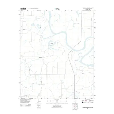
2013 Map of Daniels Chapel
USGS Topo · Published 2013About this map
The Red River dominates this landscape along the border of Texas and Arkansas, creating a complex hydrology of oxbows and islands. Large features like Paul Moore Island and Gano Island are defined by the river's winding course, while inland water bodies such as Hurricane Bend Lake and Brushy Lake mark former paths of the channel. The terrain is further shaped by several tributaries, including Mud Cr and Hooks Bayou, which drain into the main river valley.
Find a feature on this map
38 named features on this map. Tap any name to fly to it.
Don’t see what you’re looking for? This feature index may not catch every label — zoom into the map to look around manually.
Map Details
Editions of this 2013 Daniels Chapel Map
This is the sole edition of this map. No revisions or reprints were ever made.
Other maps of this area

1909 · New Boston
USGS Topo · 1:62,500

1930 · Bassett
USGS Topo · 1:62,500

1950 · Redbank
USGS Topo · 1:24,000

1950 · Tom
USGS Topo · 1:24,000

1950 · De Kalb
USGS Topo · 1:24,000

1951 · De Kalb
USGS Topo · 1:24,000

1951 · Tom
USGS Topo · 1:24,000

1951 · Redbank
USGS Topo · 1:24,000

1951 · Arden
USGS Topo · 1:24,000

1951 · Foreman
USGS Topo · 1:24,000