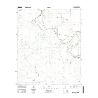
2016 Map of Daniels Chapel
USGS Topo · Published 2016About this map
Daniels Chapel and its surrounding rural landscapes are captured here along the shifting borders of Texas, Arkansas, and Oklahoma. This survey illustrates the complex hydrology of the Red River basin, where the river's winding path creates distinct landforms like Gano Island and Paul Moore Island. The terrain is marked by numerous oxbow lakes and bayous, including Hurricane Bend Lake and Hooks Bayou, which define the low-lying wetlands. For genealogists and local researchers, the map provides precise locations for the Spring Branch Cem and Hughes Cem, alongside the namesake Daniels Chapel church and its namesake road. The presence of Spanish Bluff on the riverbank serves as a notable landmark in this river-bottom environment, where small creeks such as Mud Cr and Meade Cr drain the timbered and agricultural plots of Bowie County.
Find a feature on this map
72 named features on this map. Tap any name to fly to it.
Don’t see what you’re looking for? This feature index may not catch every label — zoom into the map to look around manually.
Map Details
Editions of this 2016 Daniels Chapel Map
This is the sole edition of this map. No revisions or reprints were ever made.
Other maps of this area

1909 · New Boston
USGS Topo · 1:62,500

1930 · Bassett
USGS Topo · 1:62,500

1950 · Redbank
USGS Topo · 1:24,000

1950 · Tom
USGS Topo · 1:24,000

1950 · De Kalb
USGS Topo · 1:24,000

1951 · De Kalb
USGS Topo · 1:24,000

1951 · Tom
USGS Topo · 1:24,000

1951 · Redbank
USGS Topo · 1:24,000

1951 · Arden
USGS Topo · 1:24,000

1951 · Foreman
USGS Topo · 1:24,000