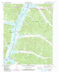
1949 Map of Daniels Landing
USGS Topo · Published 1992About this map
The Tennessee River corridor, as documented by the Tennessee Valley Authority and USGS, reveals a landscape defined by its riparian landings and the creation of Kentucky Lake. This map captures the intricate boundary of the National Wildlife Refuge along the western shore, where numerous small landings like Daniels Landing and Peoples Landing once served as vital local shipping points. The rugged interior is carved by a dense network of hollows such as Stinson Hollow and Pond Hollow, which historically isolated the small communities and family farmsteads that populated the region.
Find a feature on this map
78 named features on this map. Tap any name to fly to it.
Don’t see what you’re looking for? This feature index may not catch every label — zoom into the map to look around manually.
Map Details
Editions of this 1949 Daniels Landing Map
3 editions found
Other maps of this area

1936 · Hurricane Mills
USGS Topo · 1:24,000

1936 · Pine View
USGS Topo · 1:24,000

1936 · Daniels Landing
USGS Topo · 1:24,000

1936 · Chestnut Grove
USGS Topo · 1:24,000

1936 · Jeannette
USGS Topo · 1:24,000

1936 · Sugar Tree
USGS Topo · 1:24,000

1936 · Lobelville
USGS Topo · 1:24,000

1936 · Rockport
USGS Topo · 1:24,000

1936 · Hustburg
USGS Topo · 1:24,000

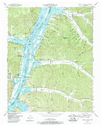
1949 · Daniels Landing
USGS Topo · 1:24,000