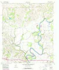
1961 Map of Daniels
USGS Topo · Published 1989About this map
The Brazos River creates a meandering natural border between Washington and Waller Counties, carving distinctive alluvial features like Mexican Bend and Clark Bottom. This agricultural landscape is defined by the convergence of multiple waterways, including New Year Creek, Peach Creek, and Little Cedar Creek. The presence of Old Grade and scattered settlements like Goodwill and Daniels suggests an era of rural development connected to the land's river-fed fertility.
Find a feature on this map
29 named features on this map. Tap any name to fly to it.
Don’t see what you’re looking for? This feature index may not catch every label — zoom into the map to look around manually.
Map Details
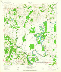
Editions of this 1961 Daniels Map
2 editions found
Other maps of this area

1914 · Gay Hill
USGS Topo · 1:62,500

1914 · Navasota
USGS Topo · 1:62,500

1930 · Brenham
USGS Topo · 1:62,500

1954 · Austin
USGS Topo · 1:250,000

1956 · Hempstead
USGS Topo · 1:62,500

1956 · Brenham
USGS Topo · 1:62,500

1958 · Washington
USGS Topo · 1:24,000

1958 · Courtney
USGS Topo · 1:24,000

1959 · Independence
USGS Topo · 1:24,000
1961 · Hempstead
USGS Topo · 1:24,000