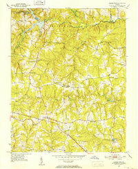
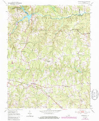
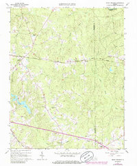
1951 Map of Danieltown
USGS Topo · Published 1952This historical map portrays the area of Danieltown in 1951, primarily covering Brunswick County as well as portions of Nottoway County and Dinwiddie County. Featuring a scale of 1:24000, this map provides a highly detailed snapshot of the terrain, roads, buildings, counties, and historical landmarks in the Danieltown region at the time. Published in 1952, it is one of 4 known editions of this map due to revisions or reprints.
Find a feature on this map
38 named features on this map. Tap any name to fly to it.
Don’t see what you’re looking for? This feature index may not catch every label — zoom into the map to look around manually.
Map Details
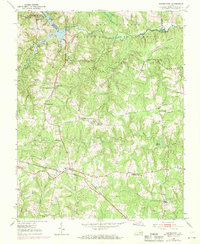
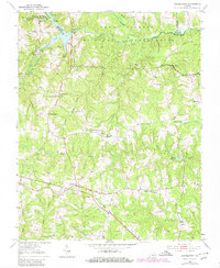
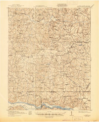
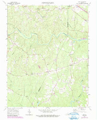
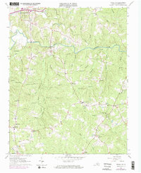
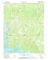
Editions of this 1951 Danieltown Map
4 editions found
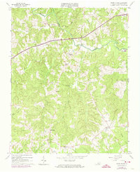
Historical Maps of Octagon Through Time
12 maps found

1919 White Plains
Brunswick County, VA
1920 White Plains
Brunswick County, VA
1951 Danieltown
Brunswick County, VA
1953 Norfolk
Brunswick County, VA
1963 Ante
Brunswick County, VA
1963 Powellton
Brunswick County, VA
1963 Smoky Ordinary
Brunswick County, VA
1963 Valentines
Brunswick County, VA
1963 White Plains
Brunswick County, VA
1976 Valentines
Brunswick County, VA

1984 Emporia
Brunswick County, VA

1990 Emporia
Brunswick County, VA