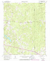
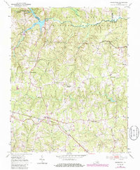
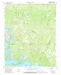
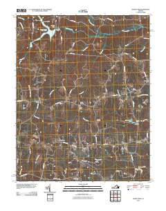
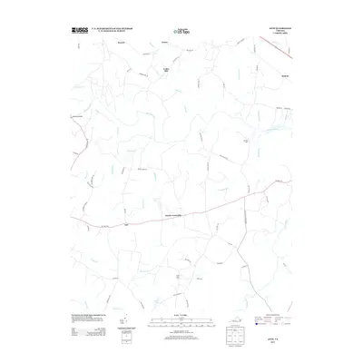
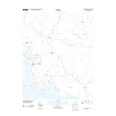
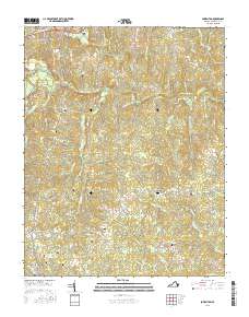
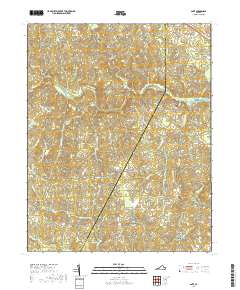
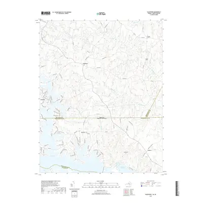
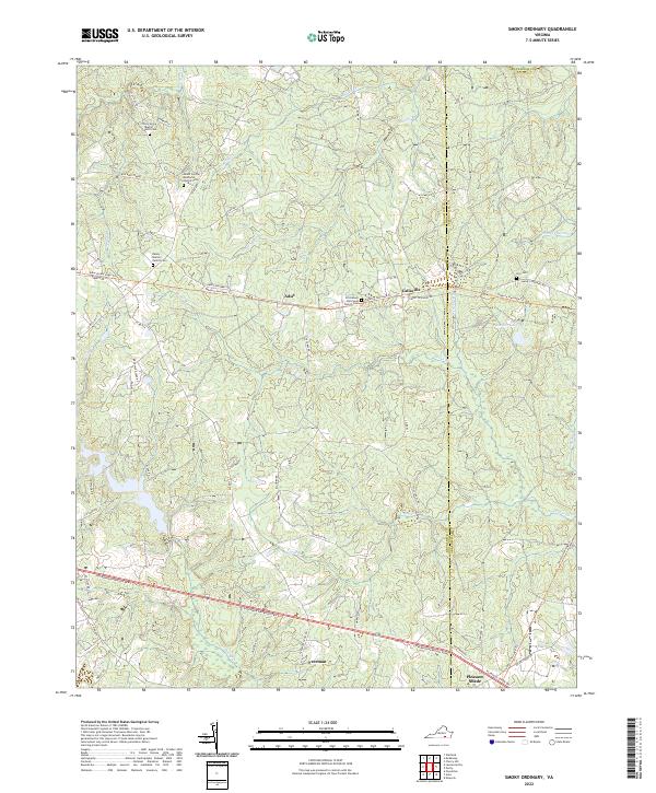
1963 Map of Smoky Ordinary
USGS Topo · Published 1986About this map
Smoky Ordinary anchors this rural landscape in Brunswick County, reflecting the area's mid-century character and its reliance on the Norfolk and Western railroad corridor. The terrain is defined by a dense network of tributaries including Sturgeon Creek, Cooks Branch, and Three Creek, which eventually drain toward the Nottoway River at the northern boundary. Small agricultural and rail-oriented settlements like Adsit, Callaville, and Freeman serve as local hubs, surrounded by a concentration of community foundations such as Mallory Sch, Mt Carmel Ch, and Emmanuel Ch. The presence of several family and church cemeteries, including the Raney Cem and Piney Grove Cem, provides significant detail for genealogical research. A solitary Lookout Tower stands near Mt Calvary Ch in the southern portion of the sheet, overlooking the transition from Brunswick into Greensville County.
Find a feature on this map
34 named features on this map. Tap any name to fly to it.
Don’t see what you’re looking for? This feature index may not catch every label — zoom into the map to look around manually.
Map Details
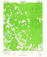
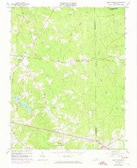
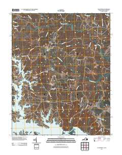
Editions of this 1963 Smoky Ordinary Map
3 editions found
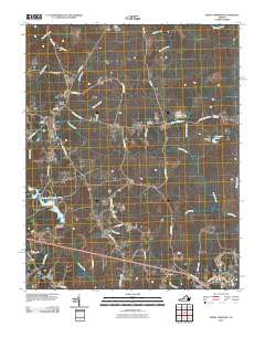
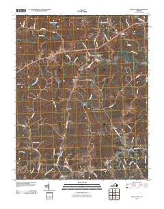
Historical Maps of Callaville Through Time
42 maps found

1919 White Plains
Brunswick County, VA
1920 White Plains
Brunswick County, VA
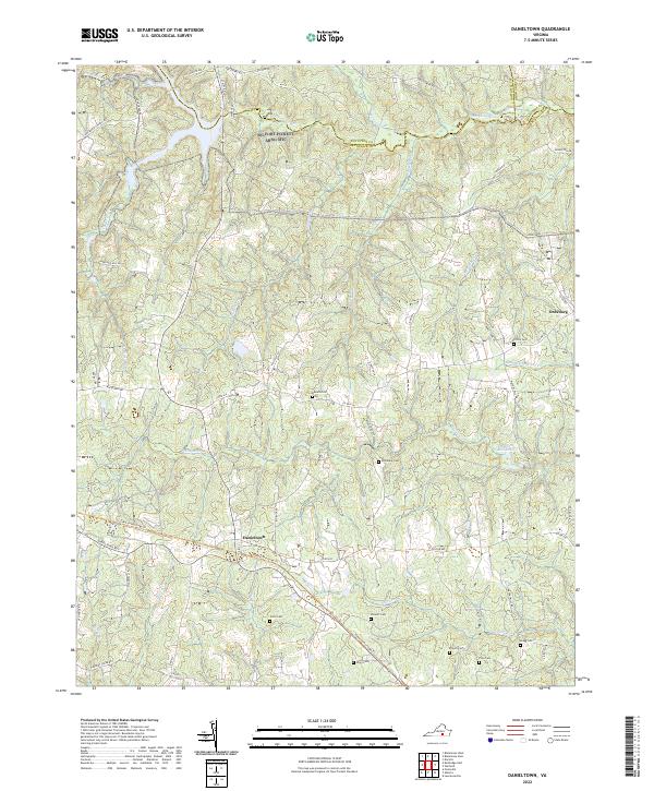
1951 Danieltown
Brunswick County, VA
1953 Norfolk
Brunswick County, VA
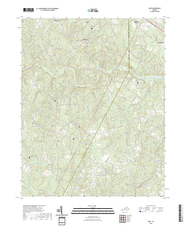
1963 Ante
Brunswick County, VA
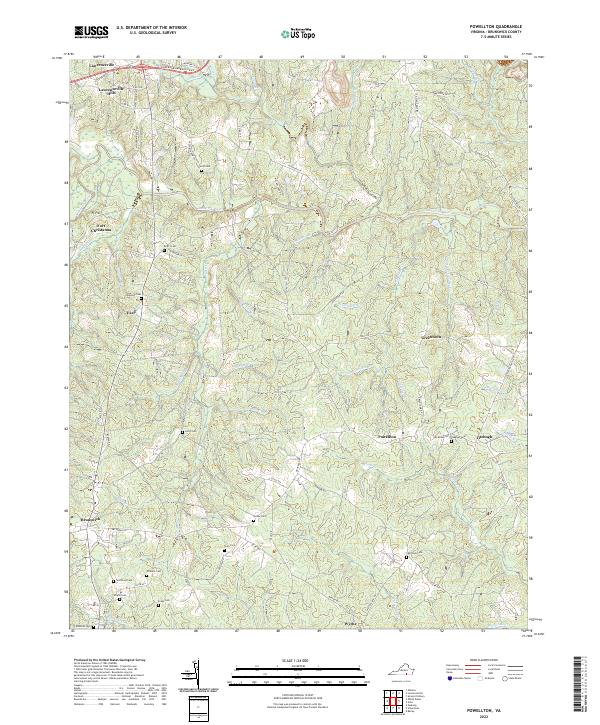
1963 Powellton
Brunswick County, VA
1963 Smoky Ordinary
Brunswick County, VA
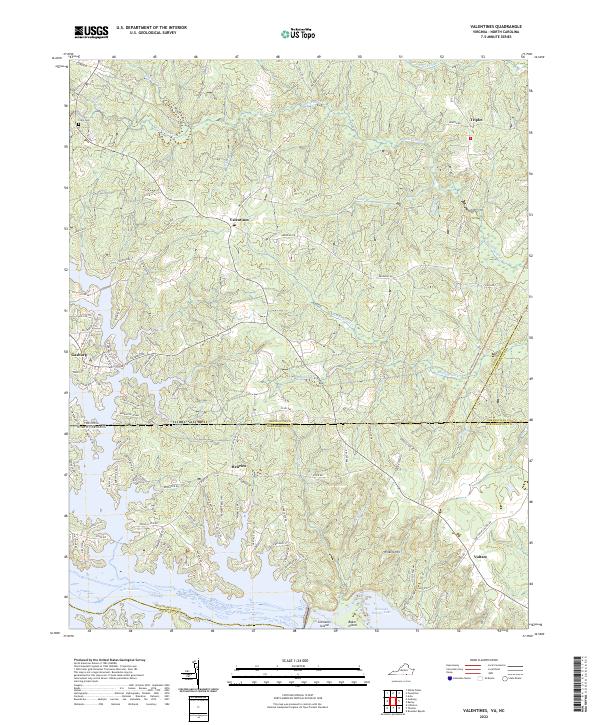
1963 Valentines
Brunswick County, VA
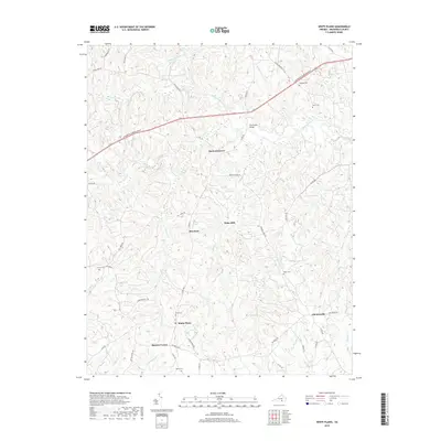
1963 White Plains
Brunswick County, VA
1976 Valentines
Brunswick County, VA

1984 Emporia
Brunswick County, VA

1990 Emporia
Brunswick County, VA
2010 Ante
Brunswick County, VA
2010 Danieltown
Brunswick County, VA

2010 Powellton
Brunswick County, VA
2010 Smoky Ordinary
Brunswick County, VA
2010 White Plains
Brunswick County, VA
2011 Valentines
Brunswick County, VA
2013 Ante
Brunswick County, VA
2013 Danieltown
Brunswick County, VA
2013 Powellton
Brunswick County, VA
2013 Smoky Ordinary
Brunswick County, VA
2013 Valentines
Brunswick County, VA
2013 White Plains
Brunswick County, VA
2016 Ante
Brunswick County, VA
2016 Danieltown
Brunswick County, VA
2016 Powellton
Brunswick County, VA
2016 Smoky Ordinary
Brunswick County, VA
2016 Valentines
Brunswick County, VA
2016 White Plains
Brunswick County, VA
2019 Ante
Brunswick County, VA
2019 Danieltown
Brunswick County, VA
2019 Powellton
Brunswick County, VA
2019 Smoky Ordinary
Brunswick County, VA
2019 Valentines
Brunswick County, VA
2019 White Plains
Brunswick County, VA
2022 Ante
Brunswick County, VA
2022 Danieltown
Brunswick County, VA
2022 Powellton
Brunswick County, VA
2022 Smoky Ordinary
Brunswick County, VA
2022 Valentines
Brunswick County, VA

2022 White Plains
Brunswick County, VA