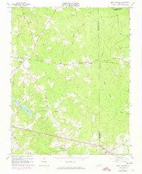
1963 Map of Smoky Ordinary
USGS Topo · Published 1974About this map
The settlement of Smoky Ordinary anchors this Southside Virginia landscape, which is characterized by a dense network of creeks and rural crossroads. The Norfolk And Western railroad bisects the terrain, connecting small communities like Adsit and Callaville. The map reveals a deeply rooted social structure through its numerous country churches and family-named cemeteries, including the Piney Grove Ch and the Raney Cem. To the south, the village of Freeman sits at the junction of the Norfolk And Danville rail line and Tryall Creek. The presence of the Mallory Sch and several remote church graveyards like the Reedy Creek Ch Cem provides critical data for genealogists tracing local families across Brunswick and Greenesville Counties. The topography is defined by significant water bodies such as the Nottoway River in the north and the expansive County Pond near the center of the sheet.
Find a feature on this map
35 named features on this map. Tap any name to fly to it.
Don’t see what you’re looking for? This feature index may not catch every label — zoom into the map to look around manually.
Map Details
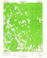
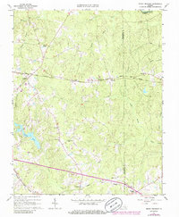
Editions of this 1963 Smoky Ordinary Map
3 editions found
Other maps of this area

1918 · Lawrenceville
USGS Topo · 1:62,500

1919 · Mc Kenney
USGS Topo · 1:48,000

1919 · White Plains
USGS Topo · 1:48,000

1919 · Emporia
USGS Topo · 1:62,500

1920 · Lawrenceville
USGS Topo · 1:48,000

1920 · White Plains
USGS Topo · 1:62,500

1921 · Mc Kenney
USGS Topo · 1:62,500

1921 · Lawrenceville
USGS Topo · 1:62,500

1942 · Lawrenceville
USGS Topo · 1:62,500

1942 · Emporia
USGS Topo · 1:62,500