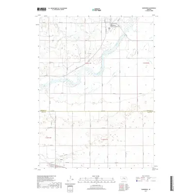
2017 Map of Dannebrog
USGS Topo · Published 2017About this map
Dannebrog sits along the northern banks of the Middle Loup River, a landscape defined by the braided watercourses and low-lying drainage patterns of central Nebraska. This 2017 survey details the transition between the agricultural uplands and the river valley, where the Big Slough and Oak Cr converge near the town center. Local history is anchored by the Oak Ridge Cem situated on the outskirts of Dannebrog, overlooking the valley floor. To the southwest, the village of Cairo serves as a secondary hub, positioned near the headwaters of Dry Cr. The map documents a sophisticated rural road network, including Loup River Rd and W Prairie Rd, which connects isolated farmsteads and water management features like Fries Reservoir. This late 2010s snapshot captures the enduring relationship between these prairie settlements and the essential water resources of the Loup River system.
Find a feature on this map
32 named features on this map. Tap any name to fly to it.
Don’t see what you’re looking for? This feature index may not catch every label — zoom into the map to look around manually.
Map Details
Editions of this 2017 Dannebrog Map
This is the sole edition of this map. No revisions or reprints were ever made.
Other maps of this area

1892 · Grand Island
USGS Topo · 1:62,500

1895 · Grand Island
USGS Topo · 1:62,500

1895 · Wood River
USGS Topo · 1:62,500

1896 · Wood River
USGS Topo · 1:125,000

1898 · Grand Island
USGS Topo · 1:125,000

1899 · Loup
USGS Topo · 1:125,000

1899 · St. Paul
USGS Topo · 1:125,000

1953 · Dannebrog
USGS Topo · 1:24,000

1953 · Boelus
USGS Topo · 1:24,000

1953 · Farwell
USGS Topo · 1:24,000