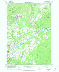
1966 Map of Dannemora
USGS Topo · Published 1984About this map
Clinton State Prison and the adjacent State Hospital dominate the northern landscape of this Clinton County survey, perched on the slopes beneath Dannemora Mtn. This mid-1960s perspective reveals the institutional footprint of Dannemora, including specialized features like the State Prison Cem and the Prison Reservoirs. The industrial and transport character of the region is defined by the Delaware and Hudson RR, which skirts the prison grounds before winding toward the Saranac River valley.
Find a feature on this map
54 named features on this map. Tap any name to fly to it.
Don’t see what you’re looking for? This feature index may not catch every label — zoom into the map to look around manually.
Map Details
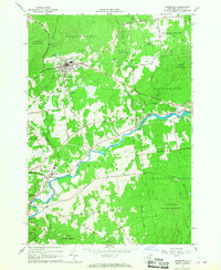
Editions of this 1966 Dannemora Map
2 editions found
Other maps of this area

1895 · Mooers
USGS Topo · 1:62,500

1899 · Mooers
USGS Topo · 1:62,500

1911 · Lyon Mountain
USGS Topo · 1:62,500

1913 · Dannemora
USGS Topo · 1:62,500

1913 · Lyon Mountain
USGS Topo · 1:62,500

1915 · Churubusco
USGS Topo · 1:62,500

1931 · Lyon Mountain
USGS Topo · 1:62,500

1942 · Mooers
USGS Topo · 1:62,500

1943 · Churubusco
USGS Topo · 1:62,500

1943 · Mooers
USGS Topo · 1:62,500