
1960 Map of Danskin Peak
USGS Topo · Published 1962About this map
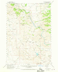
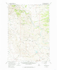
Danskin Peak stands as the dominant topographical feature in this section of the Boise National Forest, overlooking a complex network of canyons and high flats in Elmore County. The South Fork Boise River winds through the central portion of the landscape, crossed by the Danskin Bridge and flanked by landmarks like Steamboat Rock and Cathedral Rocks. Human activity in the early 1960s is evidenced by the remote Long Tom Ranch and forestry outposts such as the Willow Creek Guard Station and Danskin Guard Sta. The map reveals a land utilized for both management and recreation, featuring the Cow Creek Forest Camp and an Airstrip near the northern boundary. Cattle ranching and transit history are suggested by named locales like Little Sage Hen Flat and Tollgate Hill, while the Lava Trail provides a glimpse into the primitive transportation routes used by locals and foresters alike.
Find a feature on this map
72 named features on this map. Tap any name to fly to it.
Don’t see what you’re looking for? This feature index may not catch every label — zoom into the map to look around manually.
Map Details
Editions of this 1960 Danskin Peak Map
3 editions found
Other maps of this area

1892 · Mountain Home
USGS Topo · 1:125,000

1892 · Camas Prairie
USGS Topo · 1:125,000

1893 · Mountain Home
USGS Topo · 1:125,000

1893 · Camas Prairie
USGS Topo · 1:125,000

1894 · Idaho Basin
USGS Topo · 1:125,000

1894 · Rocky Bar
USGS Topo · 1:125,000

1955 · Hailey
USGS Topo · 1:250,000

1956 · Crater Rings
USGS Topo · 1:24,000

1956 · Mountain Home North
USGS Topo · 1:24,000

1956 · Mountain Home
USGS Topo · 1:62,500