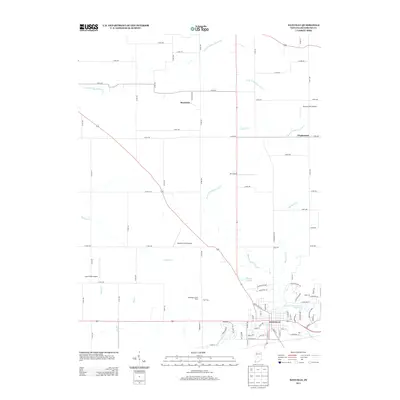
2013 Map of Danville
USGS Topo · Published 2013About this map
Danville serves as the primary hub of this landscape, positioned along the southern edge of a region defined by agricultural heritage and a network of small airstrips. The town’s residential expansion is visible in developments like Woodfield Grn and Woodfield Pl, while the surrounding countryside maintains its rural character through holdings such as the Windridge Jersey Farm. The terrain is drained by several significant waterways, including West Fork White Lick Cr and East Fork Big Walnut Cr, which cut through a grid of county roads that connect outlying settlements like Montclair and Maplewood.
Find a feature on this map
80 named features on this map. Tap any name to fly to it.
Don’t see what you’re looking for? This feature index may not catch every label — zoom into the map to look around manually.
Map Details
Editions of this 2013 Danville Map
This is the sole edition of this map. No revisions or reprints were ever made.
Other maps of this area

1953 · Clayton
USGS Topo · 1:24,000

1953 · Fayette
USGS Topo · 1:24,000

1953 · Lizton
USGS Topo · 1:24,000

1953 · Danville
USGS Topo · 1:24,000

1953 · Brownsburg
USGS Topo · 1:24,000

1953 · Plainfield
USGS Topo · 1:24,000

1953 · Indianapolis
USGS Topo · 1:250,000

1956 · Indianapolis
USGS Topo · 1:250,000

1957 · Indianapolis
USGS Topo · 1:250,000

1957 · New Ross
USGS Topo · 1:24,000