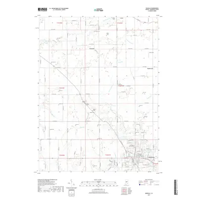
2019 Map of Danville
USGS Topo · Published 2019About this map
The town of Danville serves as a focal point in this portion of Hendricks County, where a dense network of residential streets like East Main St and East Broadway St meet at the local center. The landscape is heavily marked by family and community history, evidenced by a high density of burial grounds including the Danville South Cem, Danville East Cem, and the Primitive Baptist Cem. Outside the main settlement, the terrain is defined by the drainage of West Fork White Lick Creek and East Fork Big Walnut Creek, with scattered small communities like Lizton and Montclair punctuating the rural grid. Notable landmarks such as JR's Airport and recreational spots like Danville Conservation Club Lake suggest the region's 21st-century character, while numerous smaller family plots like the Rawlings Family Cem offer direct links for genealogical research into the area's earlier agrarian roots.
Find a feature on this map
80 named features on this map. Tap any name to fly to it.
Don’t see what you’re looking for? This feature index may not catch every label — zoom into the map to look around manually.
Map Details
Editions of this 2019 Danville Map
This is the sole edition of this map. No revisions or reprints were ever made.
Other maps of this area

1953 · Clayton
USGS Topo · 1:24,000

1953 · Fayette
USGS Topo · 1:24,000

1953 · Lizton
USGS Topo · 1:24,000

1953 · Danville
USGS Topo · 1:24,000

1953 · Brownsburg
USGS Topo · 1:24,000

1953 · Plainfield
USGS Topo · 1:24,000

1953 · Indianapolis
USGS Topo · 1:250,000

1956 · Indianapolis
USGS Topo · 1:250,000

1957 · Indianapolis
USGS Topo · 1:250,000

1957 · New Ross
USGS Topo · 1:24,000