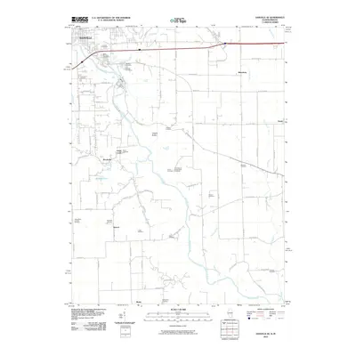
2010 Map of Danville SE
USGS Topo · Published 2010About this map
Danville and the winding course of the Vermilion River anchor this landscape, where industrial outskirts give way to a dense network of rural family burial grounds and agricultural bottoms. The terrain is marked by a high concentration of cemeteries, including Saint Patrick's Cemetery, Lutheran Cemetery, and Greenwood Cemetery, reflecting the multi-generational roots of the local community. A unique scientific landmark, the University of Illinois Radio Telescope, stands in the central portion of the sheet near Forse Cemetery.
Find a feature on this map
63 named features on this map. Tap any name to fly to it.
Don’t see what you’re looking for? This feature index may not catch every label — zoom into the map to look around manually.
Map Details
Editions of this 2010 Danville SE Map
This is the sole edition of this map. No revisions or reprints were ever made.
Other maps of this area

1899 · Danville
USGS Topo · 1:62,500

1900 · Danville
USGS Topo · 1:62,500

1947 · Ridge Farm
USGS Topo · 1:62,500

1948 · Danville NW
USGS Topo · 1:24,000

1949 · Danville SW
USGS Topo · 1:24,000

1950 · Danville SW
USGS Topo · 1:24,000

1950 · Danville NW
USGS Topo · 1:24,000

1950 · Danville SE
USGS Topo · 1:24,000

1950 · Danville NE
USGS Topo · 1:24,000

1951 · Danville NE
USGS Topo · 1:24,000