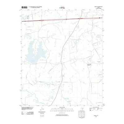
2010 Map of Darco
USGS Topo · Published 2010About this map
The industrial and natural landscape of Harrison County is anchored by the Darco Mine, a prominent feature situated near the settlement of Darco. This region is defined by a dense network of water bodies and drainages, including the Sabine River which flows along the southern edge, and the extensive Rogers Lake to the west. The presence of the Darco Mine and associated infrastructure like the Mine Haul Rd highlights the area's economic reliance on local resource extraction during this era.
Find a feature on this map
42 named features on this map. Tap any name to fly to it.
Don’t see what you’re looking for? This feature index may not catch every label — zoom into the map to look around manually.
Map Details
Editions of this 2010 Darco Map
This is the sole edition of this map. No revisions or reprints were ever made.
Other maps of this area

1956 · Tyler
USGS Topo · 1:250,000

1958 · Darco
USGS Topo · 1:62,500

1958 · Tatum
USGS Topo · 1:62,500

1961 · Hallsville
USGS Topo · 1:24,000

1962 · Marshall West
USGS Topo · 1:24,000

1962 · Marshall East
USGS Topo · 1:24,000

1983 · Grand Bluff
USGS Topo · 1:24,000

1983 · Tatum
USGS Topo · 1:24,000

1983 · Harris Chapel
USGS Topo · 1:24,000

1983 · Easton
USGS Topo · 1:24,000