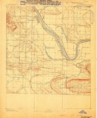
1888 Map of Dardanelle #4
USGS Topo · Published 1888About this map
The Arkansas River serves as the dominant axis for this late nineteenth-century survey, which reveals the riverfront character of Dardanelle before modern developments altered the channel. The town is plotted with its early street grid adjacent to Morristown, where the L. R. & R. R. R. R. line approaches the riverbank. Across the water, Galla Rock marks a historic landing point near the mouth of Galla Creek.
Find a feature on this map
23 named features on this map. Tap any name to fly to it.
Don’t see what you’re looking for? This feature index may not catch every label — zoom into the map to look around manually.
Map Details
Editions of this 1888 Dardanelle #4 Map
This is the sole edition of this map. No revisions or reprints were ever made.
Other maps of this area
1888 · Dardanelle #2
USGS Topo · 1:62,500
1888 · Dardanelle #1
USGS Topo · 1:62,500
1888 · Dardanelle #3
USGS Topo · 1:62,500
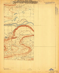
1889 · Morrilton No. 3
USGS Topo · 1:62,500
1890 · Benton
USGS Topo · 1:125,000
1890 · Hot Springs
USGS Topo · 1:125,000

1890 · Dardanelle
USGS Topo · 1:125,000
1892 · Morrillton
USGS Topo · 1:125,000
1894 · Morrillton
USGS Topo · 1:125,000
1894 · Hot Springs
USGS Topo · 1:125,000