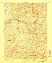
1898 Map of Dardanelles
USGS Topo · Published 1907About this map
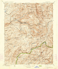
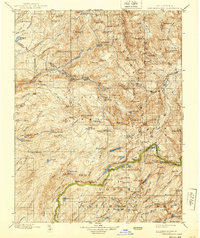
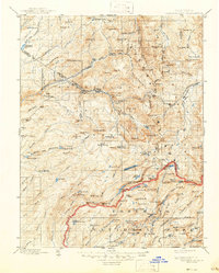
The Dardanelles and the towering Dardanelles Cone dominate this high Sierra landscape, which was surveyed during the final decade of the 19th century. The map documents a critical mountain corridor along the Sonora Road, showing the early infrastructure of travel before modern paving. Small outposts like Baker Station and the camping ground at Brightman Flat provided necessary respite for travelers and cattlemen navigating the passage between the Middle Fork Stanislaus River and the high Sonora Pass.
Find a feature on this map
123 named features on this map. Tap any name to fly to it.
Don’t see what you’re looking for? This feature index may not catch every label — zoom into the map to look around manually.
Map Details
Editions of this 1898 Dardanelles Map
8 editions found

Other maps of this area

1889 · Pyramid Peak
USGS Topo · 1:125,000

1889 · Markleeville
USGS Topo · 1:125,000

1891 · Markleeville
USGS Topo · 1:125,000

1891 · Big Trees
USGS Topo · 1:125,000

1891 · Pyramid Peak
USGS Topo · 1:125,000

1891 · Wellington
USGS Topo · 1:125,000

1893 · Markleeville
USGS Topo · 1:125,000

1893 · Sonora
USGS Topo · 1:125,000

1893 · Wellington
USGS Topo · 1:125,000

1894 · Big Trees
USGS Topo · 1:125,000