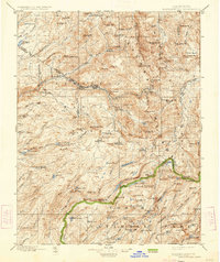
1898 Map of Dardanelles
USGS Topo · Published 1934About this map
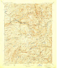
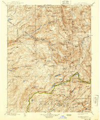
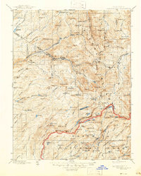
Stanislaus National Forest and the northern reaches of Yosemite National Park dominate this high-altitude landscape as it was documented in the late nineteenth century. The map centers on the dramatic volcanic and granite formations of the Sierra Nevada, featuring the prominent The Dardanelles Creek and the iconic Dardanelles Cone. Human presence is sparse, confined primarily to the Sonora Road corridor where stopping points like Baker Station and Brightman Flat provided essential refuge for travelers crossing the range.
Find a feature on this map
135 named features on this map. Tap any name to fly to it.
Don’t see what you’re looking for? This feature index may not catch every label — zoom into the map to look around manually.
Map Details
Editions of this 1898 Dardanelles Map
8 editions found

Other maps of this area

1889 · Pyramid Peak
USGS Topo · 1:125,000

1889 · Markleeville
USGS Topo · 1:125,000

1891 · Markleeville
USGS Topo · 1:125,000

1891 · Big Trees
USGS Topo · 1:125,000

1891 · Pyramid Peak
USGS Topo · 1:125,000

1891 · Wellington
USGS Topo · 1:125,000

1893 · Markleeville
USGS Topo · 1:125,000

1893 · Sonora
USGS Topo · 1:125,000

1893 · Wellington
USGS Topo · 1:125,000

1894 · Big Trees
USGS Topo · 1:125,000