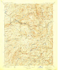
1898 Map of Dardanelles
USGS Topo · Published 1924About this map
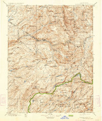
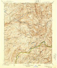
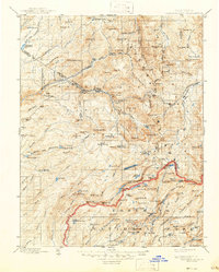
Brightman Flat and Baker Station sit as rare outposts of human settlement in this high-altitude landscape where the Sierra Nevada crest divides the watersheds. Surveyed in the 1890s, the map illustrates the early boundaries of what would become Yosemite National Park and the Stanislaus Forest. The terrain is dominated by prominent volcanic and granitic features such as The Dardanelles, Dardanelles Cone, and East Flange Rock.
Find a feature on this map
139 named features on this map. Tap any name to fly to it.
Don’t see what you’re looking for? This feature index may not catch every label — zoom into the map to look around manually.
Map Details
Editions of this 1898 Dardanelles Map
8 editions found

Other maps of this area

1889 · Pyramid Peak
USGS Topo · 1:125,000

1889 · Markleeville
USGS Topo · 1:125,000

1891 · Markleeville
USGS Topo · 1:125,000

1891 · Big Trees
USGS Topo · 1:125,000

1891 · Pyramid Peak
USGS Topo · 1:125,000

1891 · Wellington
USGS Topo · 1:125,000

1893 · Markleeville
USGS Topo · 1:125,000

1893 · Sonora
USGS Topo · 1:125,000

1893 · Wellington
USGS Topo · 1:125,000

1894 · Big Trees
USGS Topo · 1:125,000