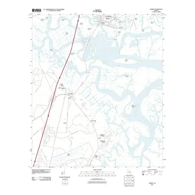
2011 Map of Darien
USGS Topo · Published 2011About this map
Old Fort King George stands as a sentinel over the Darien River at the edge of Darien, overlooking a complex labyrinth of coastal waterways and marsh islands. The landscape is defined by the braided channels of the Altamaha River, which carve out numerous named landmasses such as Butler Island, Rhetts Island, and Champney Island. This geography of water and silt historically dictated the settlement patterns of McIntosh County, where communities like Broadfield and New Hope emerged along the river's higher ground.
Find a feature on this map
69 named features on this map. Tap any name to fly to it.
Don’t see what you’re looking for? This feature index may not catch every label — zoom into the map to look around manually.
Map Details
Editions of this 2011 Darien Map
This is the sole edition of this map. No revisions or reprints were ever made.
Other maps of this area

1918 · Everett City
USGS Topo · 1:62,500

1918 · Bladen
USGS Topo · 1:62,500

1920 · Everett City
USGS Topo · 1:62,500

1921 · Darien
USGS Topo · 1:62,500

1939 · Bladen
USGS Topo · 1:62,500

1944 · Everett City
USGS Topo · 1:62,500

1945 · Brunswick
USGS Topo · 1:62,500

1946 · Brunswick
USGS Topo · 1:250,000

1948 · Brunswick
USGS Topo · 1:250,000

1954 · Altamaha Sound
USGS Topo · 1:24,000