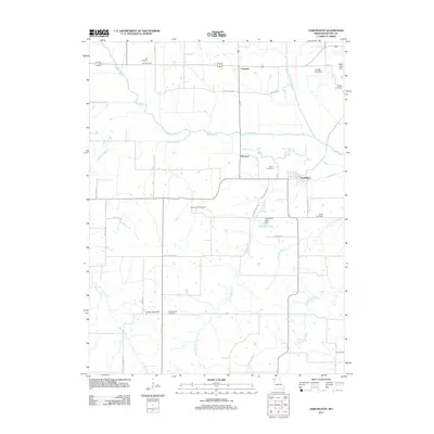
2011 Map of Darlington
USGS Topo · Published 2011About this map
The Grand River and its Middle Fork define the drainage of this Gentry County landscape, where the settlement of Darlington serves as a primary local hub. This corner of Missouri is notable for its high density of family and community burial grounds, providing a significant resource for genealogical research. Documented sites include Half Cemetery, Hall Cemetery, Rodes Cemetery, and Saint Patrick Cemetery, reflecting the early settlement patterns of the township.
Find a feature on this map
36 named features on this map. Tap any name to fly to it.
Don’t see what you’re looking for? This feature index may not catch every label — zoom into the map to look around manually.
Map Details
Editions of this 2011 Darlington Map
This is the sole edition of this map. No revisions or reprints were ever made.
Other maps of this area

1925 · Stanberry
USGS Topo · 1:62,500

1925 · Darlington
USGS Topo · 1:62,500

1939 · Stanberry
USGS Topo · 1:62,500

1940 · Parnell
USGS Topo · 1:62,500

1942 · Grant City
USGS Topo · 1:62,500

1943 · Parnell
USGS Topo · 1:62,500

1943 · Grant City
USGS Topo · 1:62,500

1943 · Stanberry
USGS Topo · 1:62,500

1950 · Darlington
USGS Topo · 1:62,500

1955 · Nebraska City
USGS Topo · 1:250,000